Thursday, 12 March 2026
Murphy Geospatial and Esri Ireland Partner to Transform Infrastructure Delivery with Real-Time Data and GIS Murphy Geospatial, a specialist in surveying and data acquisition, has announced a strategic partnership with Esri Ireland, the market leader in Geographic Information Systems (GIS). This collaboration is designed to accelerate the rollout of critical infrastructure, environmental, and urban planning […]
Murphy Geospatial, a specialist in surveying and data acquisition, has announced a strategic partnership with Esri Ireland, the market leader in Geographic Information Systems (GIS). This collaboration is designed to accelerate the rollout of critical infrastructure, environmental, and urban planning projects across Ireland, leveraging advanced real-time data and location intelligence.
The partnership aligns with the Irish Government’s €275.4 billion National Development Plan (NDP) to 2035, which includes over €100 billion earmarked over the next five years for major infrastructure investments such as bridges, roads, and railways.
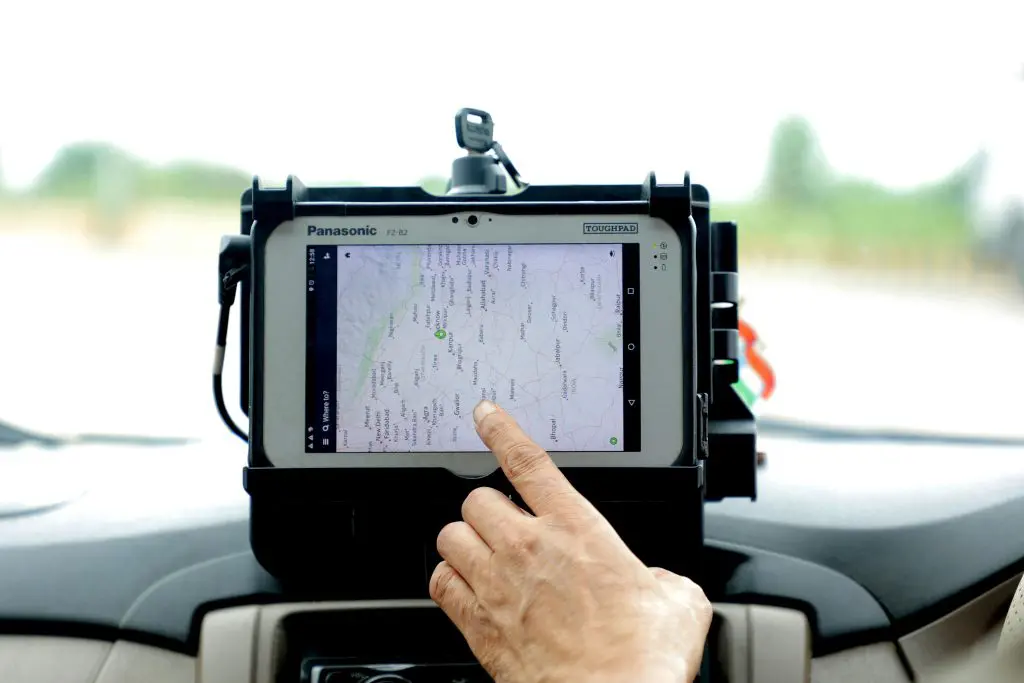
As infrastructure projects across the country grow in complexity, the need for accurate, real-time spatial data has never been greater. The Esri-Murphy collaboration will address this demand by combining Esri’s ArcGIS system with Murphy Geospatial’s high-precision data acquisition services to support the entire lifecycle of these critical projects.
Ireland faces increasing risks from climate change, including flooding, coastal erosion, and extreme weather events. By integrating geospatial data into environmental planning, this partnership can help authorities identify vulnerable zones, model future climate scenarios, and implement targeted mitigation strategies. From flood relief infrastructure to biodiversity mapping, accurate spatial data is key to enhancing national climate resilience.
Murphy Geospatial brings decades of experience in aerial, vehicle-mounted, and terrestrial scanning technologies, allowing for data collection even in hard-to-reach areas. All data undergoes rigorous quality control, ensuring accuracy and reliability.
When integrated with Esri’s GIS capabilities, including real-time mapping, 3D modelling, and spatial analytics, these datasets will be transformed into interactive maps and decision-support tools. This will enable public and private sector organisations to streamline their workflows, increase automation, and make faster, more informed decisions.
“Now, more than ever, our customers will rely on high-quality, accurate, and precise data to help them better understand the influence of location, place, and geography on their decisions. Our partnership with the team at Murphy Geospatial enables us to bring their market-leading data acquisition expertise directly to our customers.” said Paul Synnott, Managing Director at Esri Ireland.
Using digital twin technology, virtual replicas of physical assets, organisations can monitor environmental performance across the full lifecycle of infrastructure. This includes tracking energy use, materials consumption, and carbon footprint. With Esri’s GIS and Murphy’s real-time data, project managers gain tools for continuous sustainability auditing long after construction is complete.
By breaking down silos between GIS and field-collected data, this partnership will support smarter infrastructure planning and delivery. Key applications include:
Construction and engineering projects
Transport and road network development
Flood relief and environmental monitoring
Utilities and energy infrastructure
“Data and GIS systems often live in silos, but this partnership will combine these advanced capabilities to deliver solutions to key industry challenges,” said Niall Murphy, CEO of Murphy Geospatial. “This partnership will accelerate project successes, add increased value, and fuel growth for both customer bases.”
The partnership will also enable organisations to scale their projects with greater efficiency by:
Reducing project delays through real-time data access
Improving the precision and clarity of decision-making
Enhancing collaboration between teams using shared geospatial platforms
As Ireland moves toward a green economy, geospatial intelligence becomes a foundational asset. From offshore wind site planning to green transport corridors, spatial data can guide investment in sectors that support low-carbon growth. This partnership positions Esri Ireland and Murphy Geospatial as key enablers of the data infrastructure behind Ireland’s sustainable future.
Beyond just delivering projects faster, this partnership can also support sustainable development goals (SDGs) by guiding the siting and planning of infrastructure with minimal environmental disruption. GIS tools allow stakeholders to factor in protected habitats, emissions impacts, and land use data, ensuring infrastructure investments align with Ireland’s 2030 Climate Action Plan and biodiversity targets.
With Ireland’s largest-ever infrastructure investment underway, the collaboration between Murphy Geospatial and Esri Ireland offers a powerful foundation for delivering complex projects with greater accuracy and efficiency. By combining cutting-edge GIS technology with real-time, high-quality data acquisition, this partnership sets a new benchmark for infrastructure delivery in Ireland.
At All-Ireland Sustainability, we’re committed to building a greener, fairer island, together. Stay informed on the latest environmental initiatives, community action, and policy developments shaping sustainability across Ireland, North and South.
👉 Sign up for our newsletter today and be the first to hear about upcoming events, expert insights, and ways to get involved.
Whether you’re a seasoned advocate or just starting your journey, new members are always welcome.
Subscribe now and be part of the All-Ireland Sustainability network.